ROOM
27
Astronautics
Innovative framework programmes adopted by
the US National Geospatial-Intelligence Agency
(NGA), such as Clearview, NextView and Enhanced
View, awarded to DigitalGlobe and Space Imaging
in 2003, were the first Private Public Partnerships
(PPP) in EO.
US administrations have, for the two last
decades, favoured commercial services aimed
at minimising the proliferation or uncontrolled
dissemination of very high resolution (VHR)
images. US players, such as DigitalGlobe, offer the
best resolution to deter countries who could plan
to acquire their own EO satellites.
Defence cooperation
The France-led Helios programme remains a
unique prototype example of international military
cooperation in space imagery.
Spain and Italy partnered with France for
Helios 1, with the addition of Belgium and Greece
for Helios 2. Italy and Germany had separate
image-exchange agreements with France for
access to Helios 2 in return for giving France
access to the Italian COSMO-Skymed and German
SAR-Lupe radar reconnaissance spacecrafts.
Fifteen years after Helios, the Pleiades system
was designed as a full dual system, able to provide
imagery to both commercial/civil and military
users with appropriate security and priority rules.
In parallel, in the mid-90s, France and the UK
developed EO satellites for the export market. The
rationale was to offer remote sensing technologies
as instruments of sovereignty by providing integrity
of the image (no modification by third parties),
full access and control of satellite resources, and
confidentiality of national areas of interest.
This trend confirmed the soft power dimension of
space and opened new opportunities for international
co-operation or commercial agreements.
remote sensing for intelligence missions: that it can
be shared with anyone. The US newspaper, USA
Today called SPOT satellite ‘the ultimate skycam’.
In the 1970s US President Carter’s administration
identified an opportunity for the US to develop a
commercial market in order to capitalise on the
nation’s huge investment in space. Successive US
administrations built on that foundation of US
policy, as expressed in the Clinton Policy on Remote
Sensing Licensing and Exports (1994) and Bush’s US
Commercial Remote Sensing Policy (2003).
An important milestone was the launch of
Ikonos-2, the first commercial EO satellite to
collect images with a ground sampling distance
below 1 m (0.82 m) GSD at nadir in panchromatic
mode, in September 1999. Ikonos imagery began to
be sold in January 2000 and the US took the lead
in the race for higher resolution. [1]
Google Earth
opened
the door to
full private
investment
from non-
space players
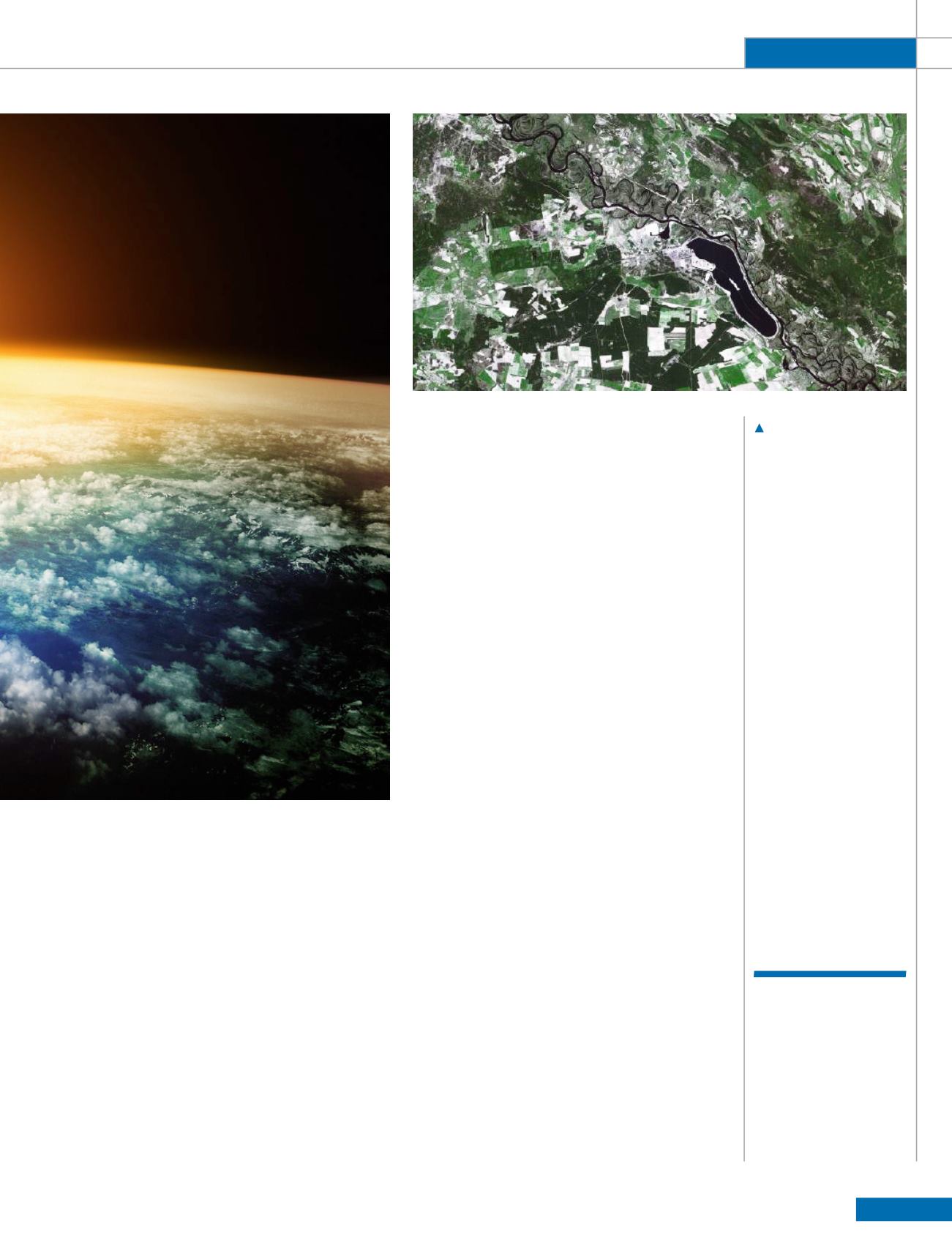
The area of the 1986
Chernobyl disaster as
viewed by SPOT 1.
CNES/Airbus DS


